USACE Jacksonville District
From 2017 – To 2019
DSI submitted the final modeland report for use in manage-ment scenario analysis.
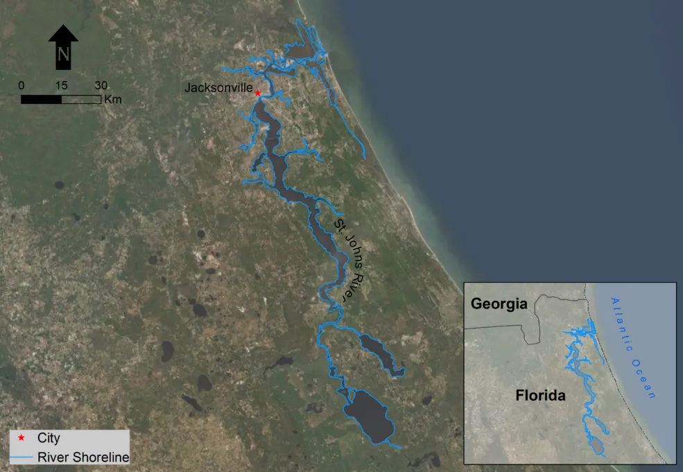
The St. Johns River (SJR) flows north, from its headwaters in the marshes of Indian River County, to the Atlantic Ocean near Jacksonville. The lower St. Johns River (LSJR) is defined as the portion of the river that extends from the confluence of the St. Johns and Ocklawaha rivers near Welaka north to the mouth of the SJR at Mayport in Jacksonville; the LSJR is about 120 miles in length. Tidal marshes surround the lower part of the estuary, where the river is mostly channelized due to urban development around Jacksonville, Florida (riverine segment). The LSJR estuary is dominated by wetlands (greater than 50 percent of the floodplain area), which host a diverse range of ecological communities. Both the composition and structure of these wetlands exhibit a strong geographical pattern corresponding to gradients in tidal amplitude, salinity, and soil texture and composition.
The purpose of this study was to evaluate potential impacts on the aquatic habitat of salinity intrusion into the estuary, and create a basis for evaluating multiple management scenarios to support decision-making.
The EFDC+ hydrodynamic and salinity model was used to model the LSJR estuary. Five separate simulation periods were used for model calibration and validation. Data collected by USACE, NOAA, USGS, and the SJR Water Management District were used to calibrate the EFDC+ model for water surface elevation and salinity. Following model calibration, an 8.5-year Production Run (PRP) from January 2008 to June 2016 was run to evaluate the long-term trends in salinity intrusion and analyze the long-term behavior of the estuary in relation to salinity stress on locations in the estuary with submerged aquatic vegetation beds (SAV) and wetlands.
A habitat analysis of submerged aquatic vegetation and wetlands was performed, which serves as a baseline for comparison with alternative management and future change scenarios for the basin.
The final model and the modeling report were submitted to the client to be used in developing and evaluating additional management scenarios.
Visualizing Salinity Change in Lower St Johns River.