Florida Department of Environmental Protection
From 2007 – To 2011
Model and report submitted in 2011
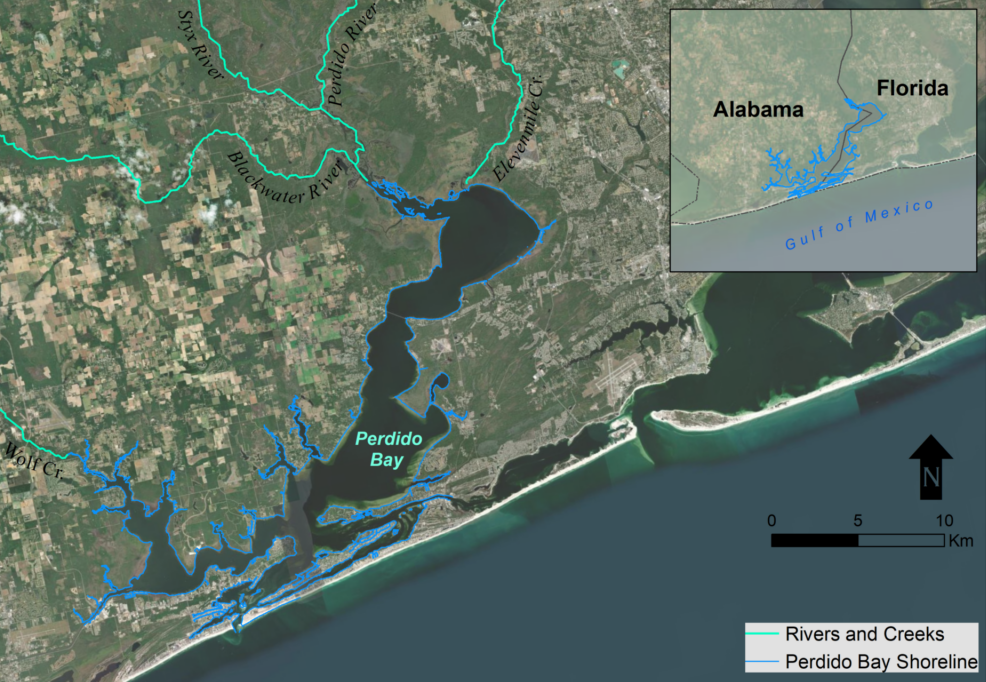
Perdido Bay is a small, shallow estuary located on the Northern Gulf of Mexico just east of Mobile Bay. The bay is characterized by a surface area of approximately 130 km2 (50 mi2), with a drainage area of over 3,238 km2 (1,250 mi2). The drainage area includes land, tributaries, lagoons, and bayous. The region has high species diversity, including shrimp, crabs, scallops, and trout, but the Bay is impacted by runoff from agricultural and silvicultural lands and point source discharge from industry.
To determine the recommended dissolved oxygen and nutrient Total Maximum Daily Loads (TMDLs) for Perdido Bay, a system of watershed pollutant loading models and a receiving water quality/hydrodynamic model were developed; this included thirteen watershed models for all of the inflows into Perdido Bay, including the Perdido River, Elevenmile Creek, and Bayou Marcus. DSI developed the Perdido Bay three-dimensional (3D) hydrodynamic and water quality model using the Environmental Fluid Dynamics Code Plus (EFDC+), and CDM developed the HSPF models. The 3D water quality model of Perdido Bay simulated the nitrogen and phosphorus components, as well as the carbon/biological oxygen demand loadings to the creek. The boundary conditions (flow and water quality) of the water quality model were linked to the HSPF model output. The HSPF/EFDC linkage was streamlined using the latest updates to EFDC+ Explorer.

Perdido Bay, Florida
Once calibrated (2004) and validated (1999-2002), the model was completed, and the TMDL base for the period 1999 to 2006 was set up. This model was then used by FDEP to develop the recommended dissolved oxygen and nutrient TMDLs for Perdido Bay.
DSI submitted the final model and report to the client in 2011.