Cotchett Pitre & McCarthy LLP
DSI submitted the final model and report as part of the evidence during the litigation process.
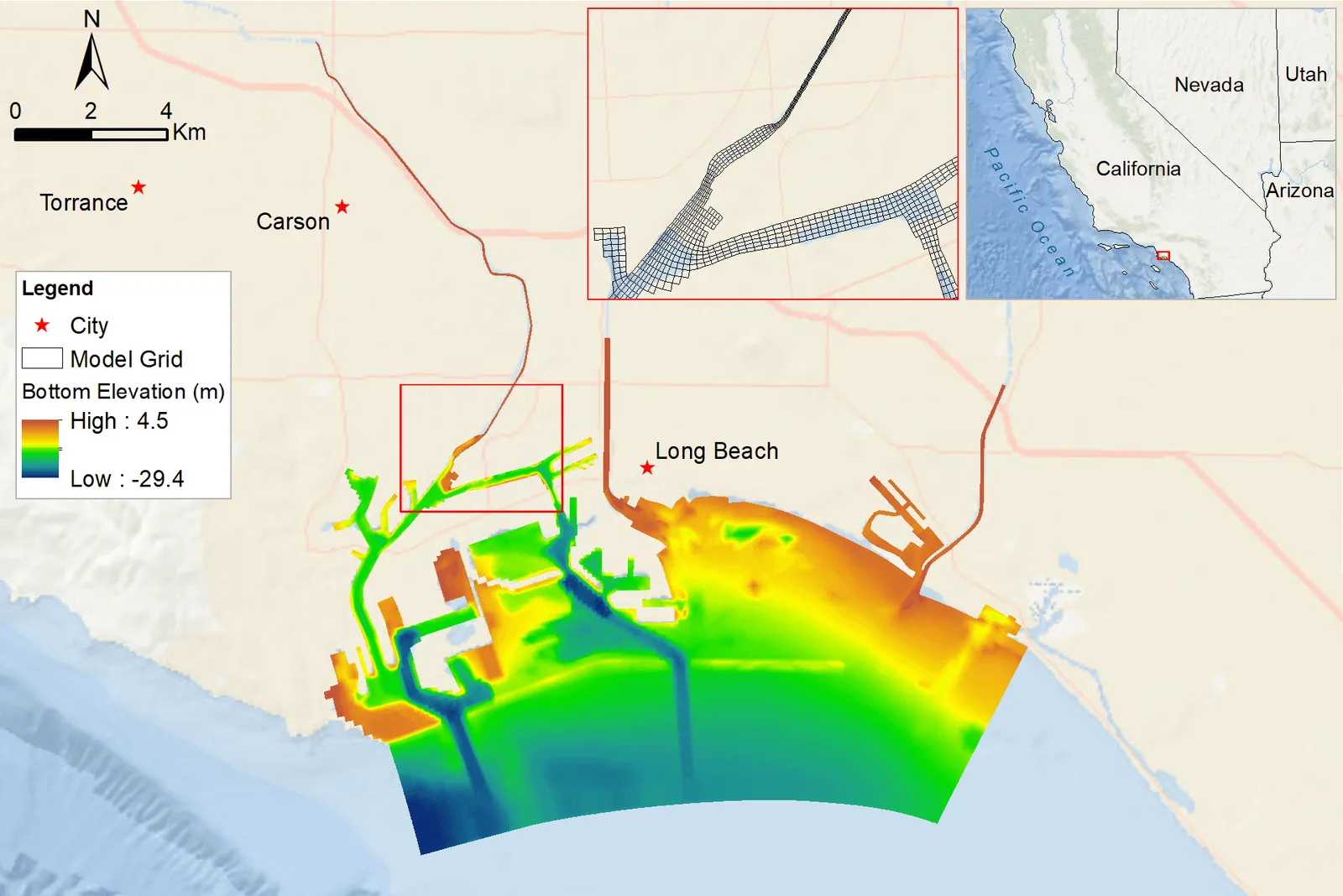
The Dominguez Channel (DMC) is a man-made waterway located in southern Los Angeles County, California. It drains a highly urbanized watershed before discharging into the Los Angeles Harbor near Wilmington.
On September 30, 2021, a warehouse storing large quantities of hand sanitizer caught fire and burned for two days. In the aftermath, hazardous pollutants were discharged into the Dominguez Channel. These inputs triggered the formation of hydrogen sulfide (H2S) within the water, which subsequently volatilized into the atmosphere. The resulting “rotten egg” odor affected nearby communities, causing widespread nuisance and physical discomfort such as nausea and headaches.
The purpose of this project was to develop a calibrated EFDC+ hydrodynamic model of the Dominguez Channel and Los Angeles/Long Beach Harbors. Using the 3D calibrated model, hydrogen sulfide (H2S) transport and volatilization processes within the Dominguez Channel were simulated. Temporally and spatially varying H2S fluxes from the water surface to the air were calculated.
DSI expanded the EFDC+ capabilities to simulate the volatilization process for all constituents set in the model to support this project. The simulation period extended from early September through the end of December 2021. To reconstruct H2S concentrations in the water column, both air and water sample data were analyzed to determine the most representative temporal trends during this period. Diurnal variations in H2S concentration associated with pH fluctuations were also incorporated. A segment of the channel was identified as the primary source region, where the reconstructed H2S time series was applied as input.
Given the high uncertainty associated with the liquid-phase mass transfer coefficient (KL), a series of sensitivity analyses was conducted to evaluate the potential range of H2S emissions to the atmosphere. The resulting air quality model outputs were processed into H2S concentration contour maps and animations, illustrating the probable spatial extent of H2S dispersion and areas exceeding EPA-recommended health risk thresholds.